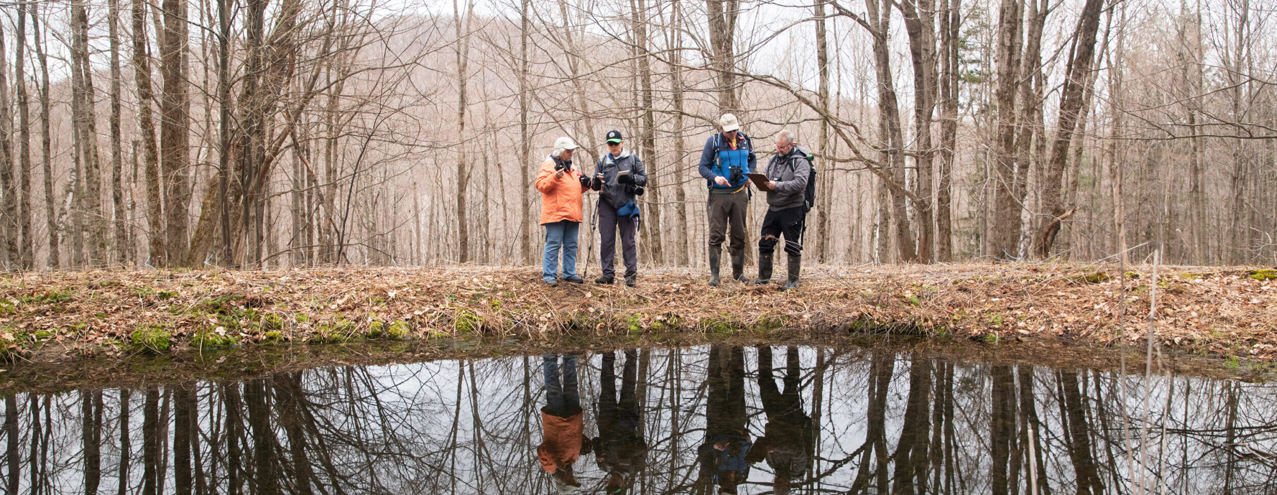
Although vernal pools support a rich and fascinating blend of wildlife (plus provide ecosystem services such as flood control) these woodland wetlands rarely appeared on conservation maps. This puts them and the creatures that depend on them at risk from development, agriculture, and poorly managed silviculture. You can help us map, confirm, monitor, and protect these coral reefs of the Northeast forests.
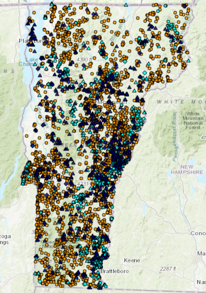 VPAtlas is an online database of vernal pool location and monitoring data. An interactive Community Science data-gathering tool created in collaboration with the Vermont Fish & Wildlife Department (VFWD), this state-wide repository of all things vernal pool is for the public to use.
Visitors can browse real-time data about suspected and confirmed vernal pools. Filter your search by town, pool ID, or status.
If you register as a VPAtlas User, you can then add pool data, including ‘New’ pools which have not been previously mapped, as well as new ‘Visits’ to previously-mapped pools. You can also upload photos of pools and indicator species.
Learn how to volunteer for the Vernal Pool Atlas, plus get all the required materials, here.
If you have any questions or suggestions, please contact us at .