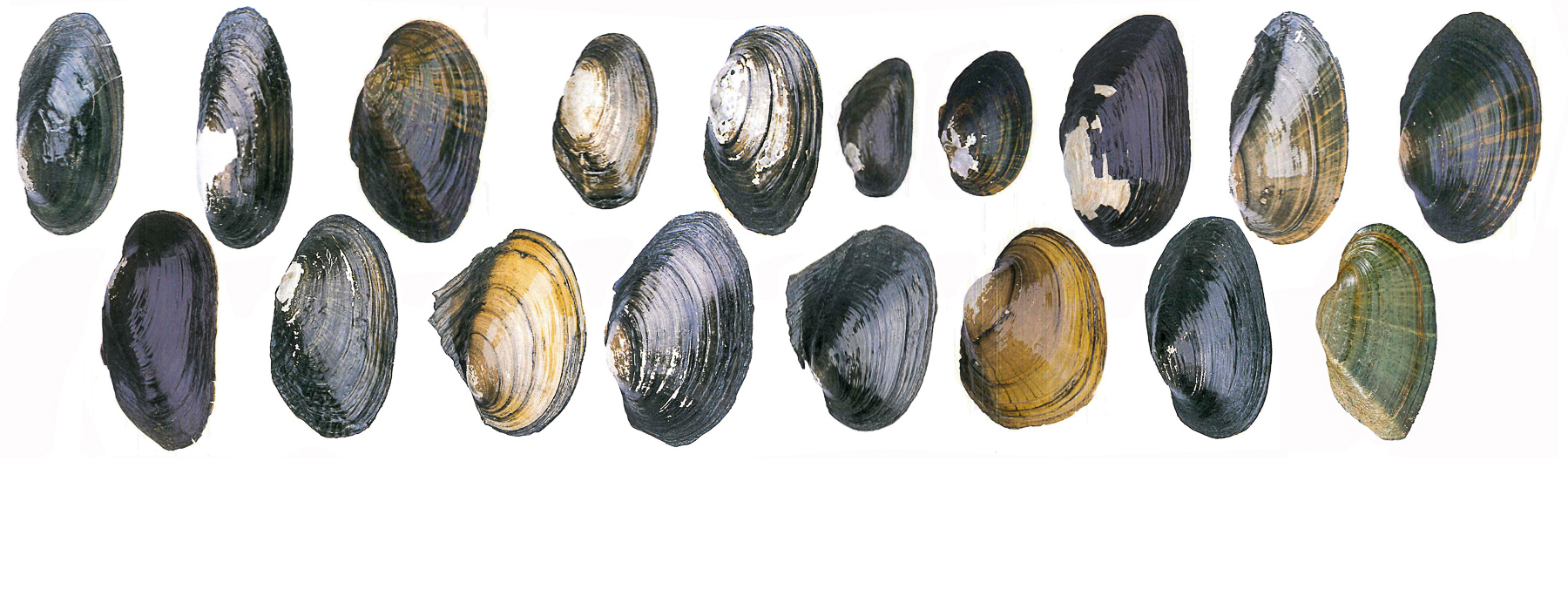
The mission of the Vermont Freshwater Mussel Atlas is to bring past, present, and future knowledge about freshwater mussel biogeography into currency for conservation, science, and society.
We are accomplishing this through a collaborative partnership with other experts, agencies, and organizations, coupled with the participation of citizen scientists. These collaborations share expertise, make the best of limited resources, prevent redundancies of effort, increase the level of expertise of volunteers, and improve program quality and effectiveness.
Fichtel and Smith (1995) compiled freshwater mussel records from museum collections, private shell collections, and field records of biologists that were working in Vermont at the time. Their dataset comprised of records from 270 sampling sites across the state. The authors noted that the mussel distribution they compiled was not complete. Some streams had been under-surveyed or not sampled at all, while many lakes had never been surveyed. They hoped that their atlas would be updated in the future to reflect new knowledge and changes in species distributions.
We have create a Vermont freshwater mussel geodatabase for historic and future survey data that is Darwin Core (DwC; global standard for geographically referenced biodiversity datasets) compliant. Data will eventually be shared with the Global Biodiversity Information Facility (GBIF), an international open data infrastructure that allows anyone, anywhere to access data about all types of life on Earth, shared via the Internet.
Currently Available Data
Fichtel, C. and D.G. Smith. 1995. The Freshwater Mussels of Vermont. Nongame and Natural Heritage Program – Vermont Fish & Wildlife Dept. Technical Report 18. Montpelier, VT. 54 pp. (PDF) (DwC Data)


