Birder Broker Forest Bird Survey Protocol
 The Birder Broker program provides an opportunity for landowners to learn more about the birds on their property, birders to explore new birding locations, and both parties to contribute valuable citizen science data to Vermont eBird. Recording birds seen and/or heard during Birder Broker forest bird surveys will allow landowners to better understand the bird habitat their property provides, and these standardized surveys can also help provide population trend information for Vermont’s forest bird species.
The protocols outlined below are intended to be simple and easy to follow while at the same time providing a statistically robust framework for monitoring breeding bird populations.
Visit #1: Route Set-Up
During the first visit to the property, the birder-landowner pair will determine a representative route through the property that will be monitored three times between June 3rd and July 15th. This route should be:
- Between 0.5 and 1 mile
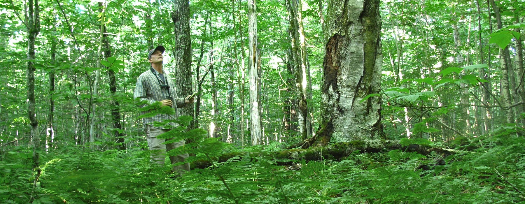
- Through primarily forested habitat (preferably the dominant forest type of the property)
- Able to be completed in 1-2 hours
Once this route has been established, the birder-landowner pair may complete the first survey during that same visit only if the survey can be completed between 5:00 am and 10:00 am.
Survey Protocol
Survey Parameters
-MUST take place between June 3rd and July 15th
-MUST take place between 5:00 am and 10:00 am
-MUST take place on days with little to no rain or frequent high winds
-MUST be less than 1 mile
-MUST follow guidelines for out and back survey routes if route is NOT a loop
-MUST walk the same survey route on all three visits in the same direction
-MUST count number of individual birds seen AND heard
eBird Protocols
All survey checklists will be documented using Vermont eBird. These checklists should be created using the eBird Mobile app with “Record Track” turned ON. If you choose instead to use a pen and paper to log the birds you hear and see and upload to eBird later, please send us a detailed map of the route you survey.
For your first Birder Broker survey:
-Place an eBird ‘personal location’ pin on the starting point of your route and, with your landowner partners’ input, give it a name for future reference. You will use this personal location for all future surveys of that route.
-We strongly recommend using the eBird mobile application for these surveys, but if you are not using eBird mobile to log your sightings, please send us a map of your route that is as exact as possible. Please reach out to us with any questions about using the eBird application or for help in creating a map of your route.
-Please provide a brief description in the ‘Comments’ section of the checklist describing habitat type, dominant forest cover (deciduous, coniferous, mixed), presence of interesting landscape features (ponds, streams, etc.), and any known historical or planned logging, as well as other forest management practices ie. patch cuts, crop tree release, invasive plant removal, tree planting, or early successional habitat. For example: Survey route starts in deciduous forest and shifts to mixed about one-quarter of the way through. There is a small stream that intersects the route. The landowner is working with a forester on a small patch cut in the deciduous woods.
For ALL Birder Broker surveys:
- Share your complete checklist with the Birder Broker eBird account (username = birderbroker)
- Include Breeding Bird Codes for all species heard and seen
- Email a copy of the checklist to your landowner partner
- Provide a brief description of weather conditions during the survey in the comments of your checklist
- If your route is a loop, submit 1 complete checklist for all birds documented along the route
- If your route is an out-and-back walk, best eBird practice is to create one checklist for the trip out, and a second for the trip back. Creating one checklist for the whole route, and only adding any new species detected on the trip back, is also acceptable. Please be sure to cut your total mileage in half if you do this to properly reflect the amount of ground you covered. See more here.
eBird FAQ’s
Does my landowner-partner ‘count’ when considering ‘Number of Observers”?
This depends on whether or not they are an ‘active observer’, i.e. pointing out birds that you may have overlooked, drawing your attention to singing or calling birds, identifying the birds that they are familiar with. If this is the case, you would include the landowner in the “Number of Observers”. If they are along for the ride, and you are pointing out birds to them, they would not be included in this number.
How do I estimate my distance traveled?
If you use eBird Mobile, you don’t have to! If the “track” function is turned ON, eBird tracks time elapsed and distance traveled for you and includes this information in your checklist. If you are doing a survey along a loop, you can leave the track running until you return to the point that you started the survey. If your route consists of an out-and-back walk along a trail or road, best practice is to complete one checklist on the way out, then end that checklist and start another checklist for the return journey. Please note, if you do an out-and-back survey and choose NOT to do two checklists, you’ll need to adjust your distance AFTER doing your survey. Please read more here.
What if my landowner doesn’t want the location of their property publicized on eBird?
It is important that you discuss privacy with your landowner-partner, as some may not want their location made public on eBird. If they want their location to be kept private, simply click “Hide From eBird Output” under “Checklist Tools” when editing your checklist on the eBird website.
How can I submit an eBird checklist if I don’t have internet access?
If you are using the eBird mobile app and cannot access the internet, you can still fill out an ‘offline’ eBird checklist. Once you select “Start New Checklist” on the “Select Location” screen, simply tap “Create Offline Checklist”. You will be asked to select a default checklist, and any recent checklist you’ve submitted in Vermont should have all of the species you are likely to encounter during your survey. Once you have determined your GPS accuracy and selected a checklist, you can fill out all of the species you see and hear as you normally would, and select your personal location for your landowner partner’s property once you return home and have internet access.
How far apart should I space my surveys?
While we would prefer that you didn’t complete all 3 surveys in the span of one week, if you are not able to spread the surveys evenly across the sampling time (June 3rd – July 15th), that is fine! If possible, separate the surveys by about 5-7 days.
If you have any questions, suggestions or comments, you can reach out to Bridget Butler and Nathaniel Sharp at .